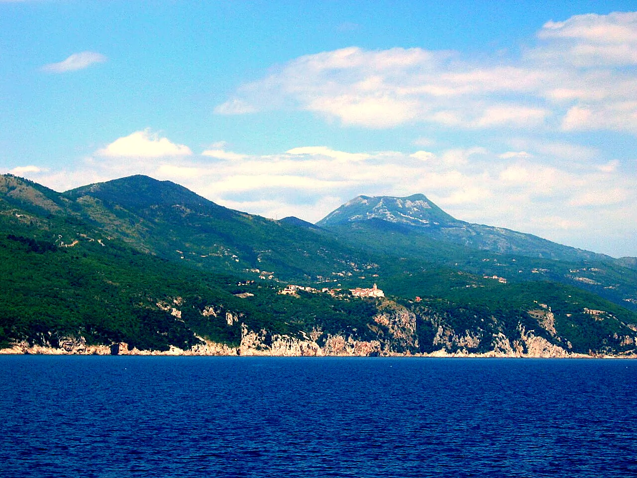
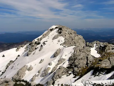
The Učka mountains rise steeply from the sea right behind Opatija and separate Istria from Kvarner. The highest peak, Vojak (1,401 m), carries a stone lookout tower from 1911; on clear days you can see all of Istria, the Kvarner islands, the Velebit and as far as the Alps. Since 1999 the area has been a nature park – a hiking and outdoor playground just half an hour from the coast.
At a glance
Region
Kvarner / Istria
Area
160 km²
Highest peak
Vojak, 1,401 m
From Opatija / Rijeka
approx. 25 km / approx. 32 km
Best time to visit
April to October; clear autumn days for the views
Ideal for
hikers, mountain bikers, climbers, paragliders
Vojak and Poklon
The heart of the park is the Poklon pass (922 m) with its visitor centre, where you can get information, maps and e-bikes. From there a narrow road leads almost to the summit; on foot Vojak is about an hour from Poklon. The Plas educational trail runs along the ridge. The summit is often windy – bring a jacket even in summer.
Vela draga and waterfalls
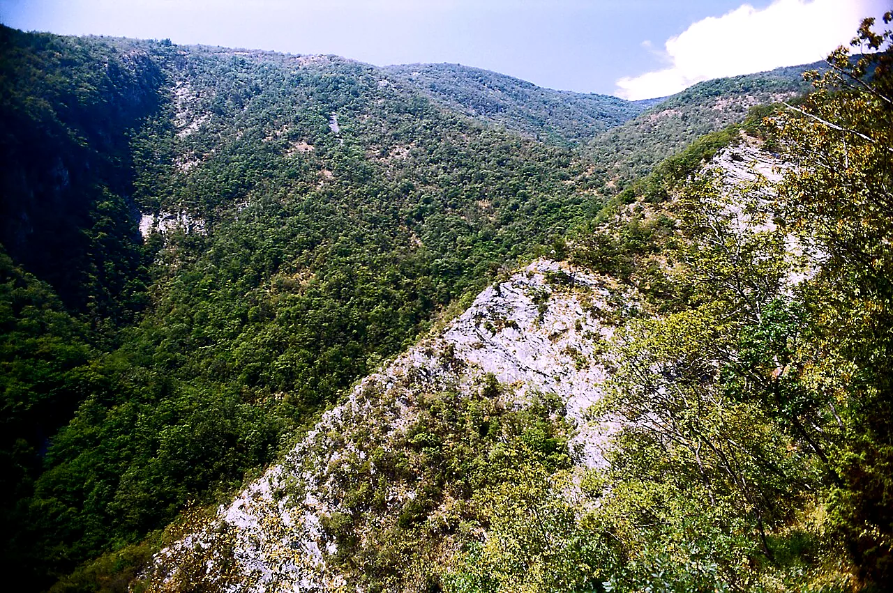
On the Istrian side lies Vela draga, a karst canyon with striking rock towers, crossed by an educational trail of about 2 km; its cliffs are popular with climbers. On the Kvarner side the Slap educational trail leads to one of the park's most beautiful waterfalls above Lovranska Draga. The "Two Towers" trail runs from Lovran's town tower to the Vojak tower.
Active on Učka
The park offers about 50 marked hiking trails, eight mountain-bike routes totalling around 180 km, some 60 climbing routes and take-off points for paragliders and hang-gliders. The villages on the slopes – such as Lovranska Draga and Mala Učka – are almost deserted but picturesque. In autumn locals gather sweet chestnuts here (Lovranski marun).