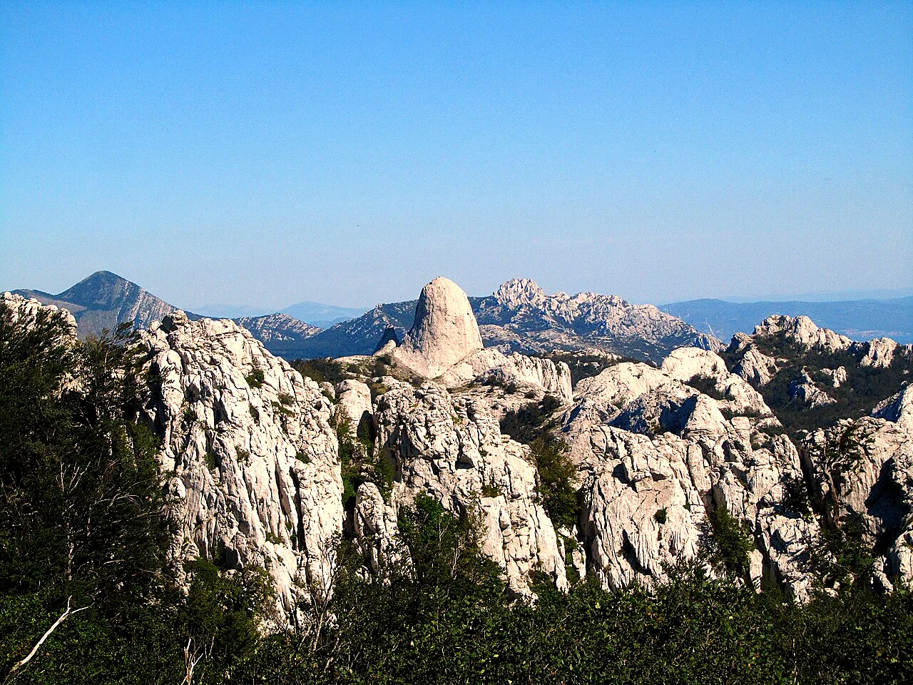
The Velebit runs for about 145 kilometres along the coast from Senj almost to Zadar, separating the sea from the Lika highlands. The entire range is a nature park and UNESCO biosphere reserve; its north and the Paklenica in the south are national parks. Bizarre limestone towers (kukovi), mountain meadows, caves and views over the Kvarner islands make Velebit one of the finest hiking areas in south-eastern Europe.
At a glance
Region
Lika / coast
Length
approx. 145 km
Highest peak
Vaganski vrh, 1,757 m (Southern Velebit)
National parks
Northern Velebit, Paklenica
Best time to visit
June to October
Ideal for
hikers, nature photographers, mountaineers
Northern Velebit National Park
The 109 km² park includes some of Croatia's wildest karst landscapes. Access is via the Babić Siča entrance; from there the road climbs to Zavižan (approx. 1,600 m), home to Croatia's highest weather station, a mountain hut and the Velebit Botanical Garden. Admission costs a few euros per person. In the strictly protected Hajdučki and Rožanski kukovi reserves hundreds of limestone pinnacles rise from the forest.
The Premužić Trail
Built between 1930 and 1933, the Premužić Trail (Premužićeva staza) is considered Croatia's most beautiful hiking path: a dry-stone-built trail with gentle gradients running about 57 kilometres from Zavižan to Baške Oštarije. Around 16 km lie within the national park; about two hours from Zavižan you reach the Rossijeva koliba shelter. The trail is protected as a cultural asset of national importance.
Practical tips
Access is from Senj via Krasno or from the coast near Jablanac; the last kilometres are narrow and partly gravel. Many routes have no water – carry plenty. The weather changes quickly, and the bora can be cold and stormy even in summer. You can stay in mountain huts and shepherds' shelters; many huts are staffed only in summer.